We launched a new project mapping and comparing the health implications of the global pandemic across the South-Eastern European countries.
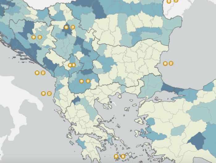
Our platform includes an interactive map that visualizes the pandemic’s toll on the region, but also quantitative and qualitative data about each government’s emergency political and economic measures, social distancing, travel restrictions and all other relevant decisions taken by the twelve countries of Southeast Europe. Our interactive map is updated daily with data and visuals, drawing on multiple official governmental portals and reliable non-governmental sources.
We aim to generate information about the multiple effects of the crisis on health systems, democratic institutions and civil liberties, the economies and the geopolitics of the region. We also plan to monitor the gradual relaxing of measures taken and plans for the region’s recovery and reconstruction. We will enrich this platform with online discussions and webinars, teaming up with prominent experts to debate the effects of the crisis and the future of the region and its peoples.
You may find the interactive map with all the data here.